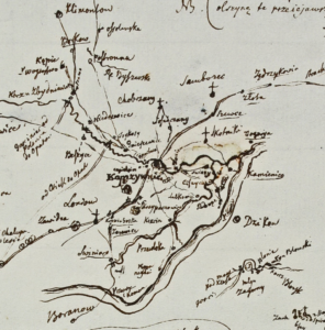
This page is dedicated to project “Cartography at the service of political reforms in the times of Stanisław August Poniatowski – a critical elaboration of ‘Geographical-statistical description of the parishes in the Kingdom of Poland’ and the maps of the palatinates by Karol Perthées” led by Professor Bogumił Szady financed by National Programme for the Development of the Humanities (no. 11H 18 0122 87).

The main objective of the project is the elaboration and online publication of Karol Perthées’s “Geographical-statistical description of the parishes in the Kingdom of Poland” and maps of the Polish Crown palatinates. These are basic and extremely valuable sources for the study of the cultural and historical-political landscape of Polish lands in the second half of the 18th century. This elaboration will have two advantages. Firstly, in terms of documentary and cartographic research, it will provide a picture of the settlement network and administrative divisions of the Polish Crown (within the boundaries from before the 2nd Partition). Secondly, in the dimension of issue-based research, the material gathered will be the main source basis for a monographic study on “Cartography in the service of state reforms in the time of Stanisław August”.
